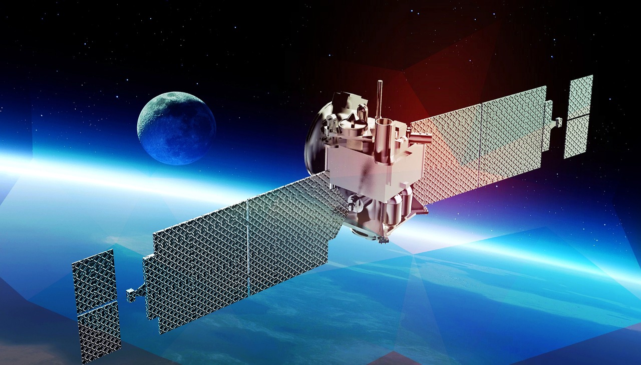
Near Real-Time, Super-Resolved Satellite Monitoring with NextAV.
NextAV Monitoring is an advanced satellite imagery service built on top of our core NextAV SR product. Using AI-driven super-resolution technology, we enhance public satellite imagery to provide high-resolution, automated insights for governments, industries, and organizations across various sectors. With frequent revisit times of just a few days, NextAV Monitoring delivers actionable data to help users make informed decisions, improve operational efficiency, and ensure compliance with environmental and safety regulations.
AI-Driven Super-Resolution Technology:
NextAV Monitoring leverages our proprietary AI technology to enhance the resolution of publicly available satellite imagery, transforming low-resolution data into commercial-grade, high-resolution visuals.
Sector-Specific Solutions:
NextAV Monitoring provides customized insights for a variety of industries, including oil and gas, mining, agriculture, forestry, and government. Each use case is powered by separate AI models tailored to extract specific analytics, such as leak detection, land use monitoring, or environmental change tracking.
Global Coverage and Continuous Monitoring:
Our system collects and processes satellite imagery from around the globe, offering near real-time updates with frequent revisit times. This ensures that you always have up-to-date data to support time-sensitive decision-making.
Easy Integration:
NextAV Monitoring integrates seamlessly with existing systems, GIS platforms, and APIs, making it easy for organizations to incorporate our insights into their workflows and operations.
By leveraging AI, NextAV Monitoring automatically detects methane leaks, infrastructure changes, and other critical events, providing users with reliable, high-quality data for real-time decision-making.
With a short revisit time of just a few days, our platform ensures continuous monitoring and timely insights, enabling quicker responses to changes and risks across vast geographic regions.
NextAV Monitoring is a cost-effective alternative to expensive commercial satellite services and traditional on-the-ground inspections. Our solution maximizes the utility of public satellite imagery through super-resolution, providing high-quality data at a fraction of the cost.
From energy companies to government agencies, each industry benefits from customized AI models built on top of NextAV SR to extract the precise insights needed for operational efficiency and safety.
Whether monitoring oil pipelines, mining sites, agricultural fields, or urban infrastructure, NextAV Monitoring offers scalable solutions that can be applied across various regions and sectors, ensuring global coverage and local precision.

+216 27 792 406
contact@nextav.ai
Novation City, Building 3, 4003 Sousse - Tunisia
NextAV LLC
Office No. 1, Floor No. 9
QFC Tower 1, Doha – Qatar
Novation City, Building 3, 4003 Sousse - Tunisia
Mon – Fri …… 8:30 am – 6 pm,
Sat, Sun …… Closed
Novation City, Building 3, 4003 Sousse - Tunisia
