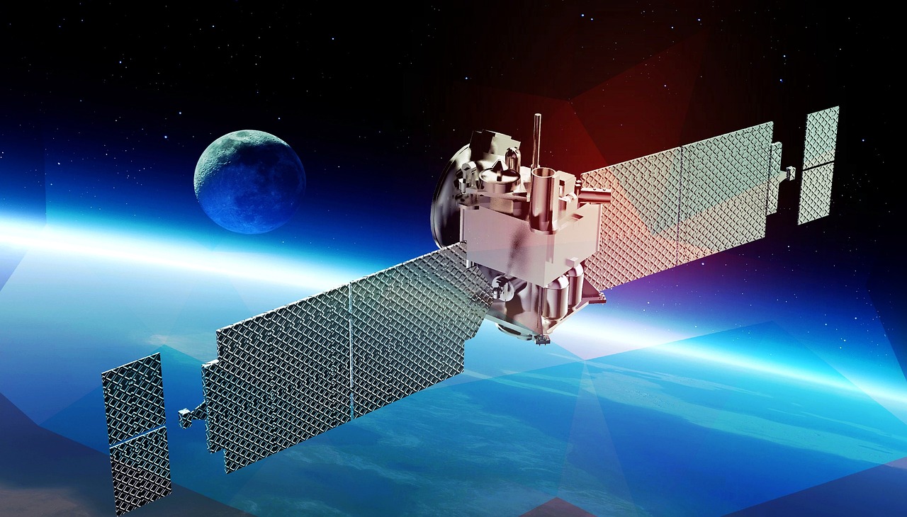
At NextAV, we transform public satellite imagery into high-resolution data using advanced AI-driven analytics. Our platform delivers precise, near-real-time monitoring that empowers industries such as mining, oil and gas, and environmental management to make informed decisions. From monitoring large-scale operations to optimizing resource use, NextAV offers businesses the actionable insights they need to stay efficient and sustainable.
Contact UsNextAV is a leading geospatial analytics startup focused on enhancing satellite imagery with AI to provide accurate, high-resolution data for sectors such as mining, oil and gas, agriculture, and environmental monitoring. Our solutions are designed to help businesses optimize operations, manage critical infrastructure, and make data-driven decisions that improve efficiency and cost-effectiveness.
Our flagship product, NextAV SR, uses proprietary AI algorithms to enhance the resolution of public satellite imagery, achieving a 1-meter resolution. This enables businesses to gain deeper insights, helping them manage resources effectively, monitor ongoing operations, and address emerging challenges before they escalate.
PurchaseNextAV Monitoring offers real-time data to monitor assets, infrastructure, and environments with high-resolution satellite imagery. The platform provides users with actionable insights to detect changes, manage risks, and maintain operational efficiency, all through an easy-to-use interface.
PurchaseWe deliver AI-driven satellite imagery analytics tailored to the needs of various sectors, offering data-rich insights that enhance operational efficiency, resource management, and compliance.
We provide AI-powered insights to monitor crop health, soil conditions, and forest ecosystems, helping farmers and foresters optimize irrigation, detect pest threats, and improve sustainability while maximizing yields.
Learn MoreOur solutions support urban planning, disaster response, and environmental management. Government agencies use our high-resolution satellite data to track land use changes, improve data-driven governance, and respond quickly to critical environmental or urban challenges.
Learn MoreNextAV provides high-resolution satellite data to monitor infrastructure integrity, such as pipelines and facilities, and ensure environmental compliance. By enabling frequent monitoring, we help oil and gas companies detect issues early, reduce operational risks, and maintain safety standards.
Learn MoreOur AI-enhanced imagery allows mining companies to monitor extraction sites and track changes in land use over time. NextAV helps mining operations optimize resource extraction, improve site management, and ensure compliance with environmental regulations.
Learn More


+216 27 792 406
contact@nextav.ai
NextAV LLC
Office No. 1, Floor No. 9
QFC Tower 1, Doha – Qatar
Novation City, Building 3, 4003 Sousse - Tunisia
Mon – Fri …… 8:30 am – 6 pm,
Sat, Sun …… Closed
