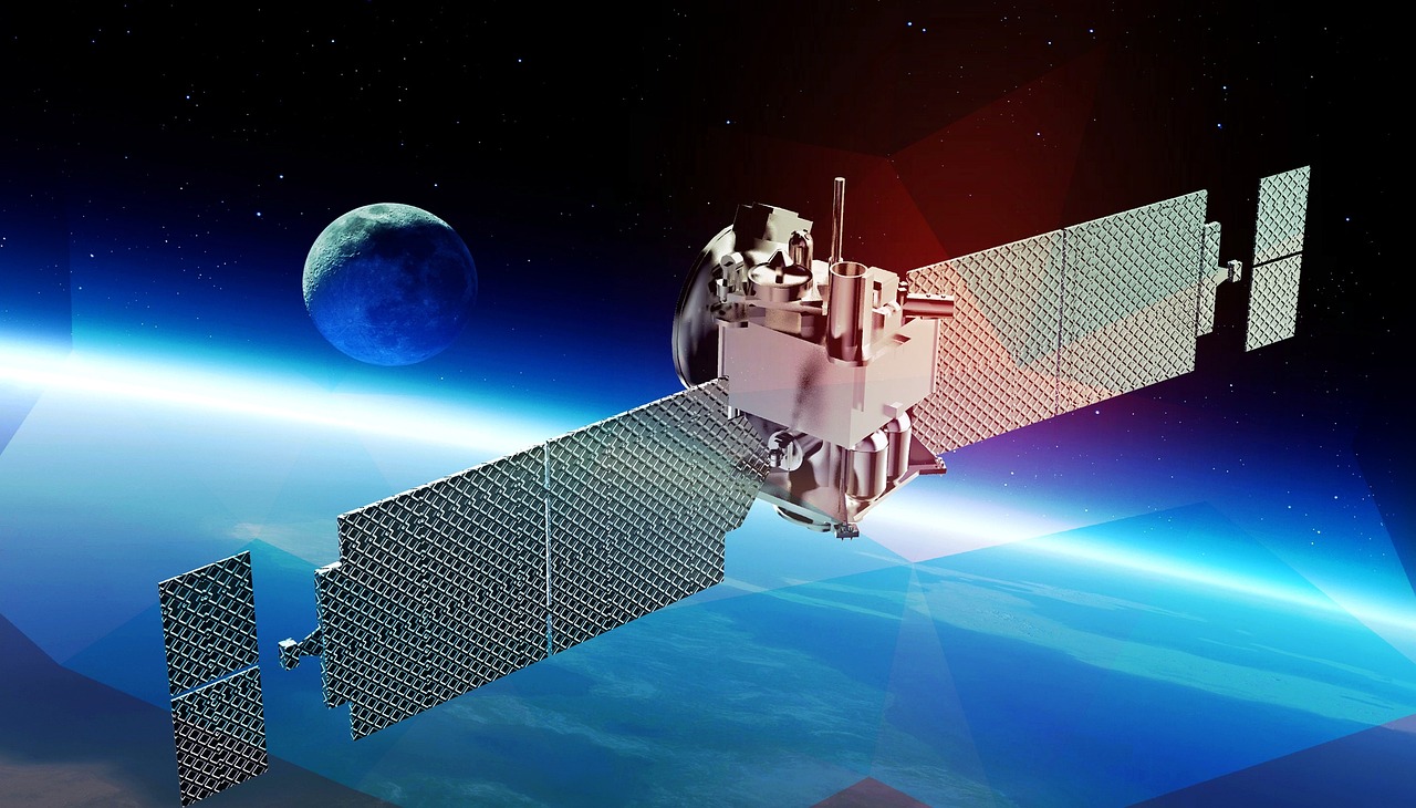
At NextAV, we empower the agriculture and forestry industries by enhancing publicly available satellite imagery, providing commercial-grade, high-resolution visuals. Our advanced super-resolution technology offers more precise monitoring and management of crops and forests, promoting efficient, sustainable, and profitable practices. Whether you're an agritech startup or company looking to better serve farmers, or a forestry expert ensuring the health and sustainability of ecosystems, NextAV offers the tools you need to gain invaluable insights.
Contact UsExperience the clarity of high-resolution transformations that reveal intricate field-level details, offering better crop monitoring.
Benefit from near real-time, frequent monitoring with super-resolved images, allowing continuous crop health tracking, even in regions with frequent cloud cover.
Quickly identify problem areas, such as pest infestations or disease outbreaks, and apply localized treatments to mitigate damage.
Seamlessly integrate super-resolved images with IoT devices and other data sources to drive smarter, data-driven agricultural planning.
Quantify productivity across fields more accurately with high-resolution imagery that reveals in-field variations and patterns.
Define specific management zones based on detailed, historical satellite data, improving resource allocation and crop planning.
Generate precise, variable-rate prescription maps for seeding, fertilization, and irrigation to optimize resource usage and improve yields.
Use high-resolution satellite data to avoid over-fertilization and overuse of resources, reducing environmental impact while maintaining productivity.
Enhance irrigation planning with precise satellite data, ensuring crops receive optimal hydration while conserving water resources.
Track the success of sustainable practices like regenerative agriculture and carbon storage with high-resolution images, verifying efforts and outcomes.
Detect early signs of disease, pest infestation, or deforestation with improved visual clarity, allowing for quicker interventions.
Track forest health and growth over time with super-resolved historical imagery and near real-time updates.
Leverage enhanced historical images to analyze long-term trends in forest health and land use, aiding in strategic planning.
Establish precise management zones for sustainable forestry efforts, such as reforestation or controlled logging, ensuring optimized land use.
Track conservation projects to ensure forests are managed sustainably, and biodiversity is preserved.
Combine high-resolution satellite data with other environmental datasets for a more comprehensive approach to forest management and decision-making.

+216 27 792 406
contact@nextav.ai
Novation City, Building 3, 4003 Sousse - Tunisia
NextAV LLC
Office No. 1, Floor No. 9
QFC Tower 1, Doha – Qatar
Novation City, Building 3, 4003 Sousse - Tunisia
Mon – Fri …… 8:30 am – 6 pm,
Sat, Sun …… Closed
Novation City, Building 3, 4003 Sousse - Tunisia
