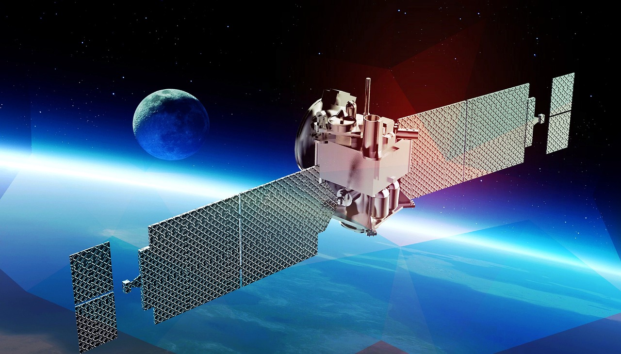
NextAV Monitoring leverages advanced AI built on top of our core NextAV SR product, to provide government agencies with high-resolution satellite imagery for a wide range of applications. Our technology transforms public satellite imagery into actionable insights, enabling governments to make informed decisions, manage resources efficiently, and respond swiftly to critical situations. From urban planning to national security, NextAV Monitoring supports planning, monitoring, and protecting critical infrastructure, ensuring public safety and environmental sustainability.
Contact UsTrack urban changes with super-resolved satellite imagery, enabling precise infrastructure planning and city management.
Monitor construction projects, detect unauthorized developments, and ensure compliance with zoning regulations in near real time.
Analyze land use patterns and changes to optimize city planning and improve decision-making for sustainable growth.
Detect deforestation, illegal logging, and land encroachment with high-resolution imagery and frequent monitoring.
Monitor water bodies for pollution, changes in water levels, and overuse, supporting effective resource management.
Track changes in biodiversity and vegetation, ensuring the protection of critical ecosystems and compliance with conservation policies.
Use enhanced satellite imagery to monitor disaster zones in real time, ensuring faster response times.
Accurately assess the extent of damage from floods, fires, earthquakes, and other disasters to prioritize response efforts.
Deploy resources effectively based on detailed satellite imagery, optimizing recovery operations and minimizing damage.
Monitor border regions for illegal crossings, unauthorized activities, and potential infrastructure threats in near real time.
Protect critical infrastructure such as power plants, transportation hubs, and military installations with high-resolution monitoring.
Enhance national security operations by using super-resolved satellite imagery for defense and intelligence purposes.
Track environmental changes, such as desertification and degradation in soil quality.
Monitor urban expansion, deforestation, and agricultural activities to ensure compliance with sustainability and climate policies.
Track industrial emissions and other greenhouse gas contributors, helping governments enforce environmental regulations and promote sustainable practices.

+216 27 792 406
contact@nextav.ai
Novation City, Building 3, 4003 Sousse - Tunisia
NextAV LLC
Office No. 1, Floor No. 9
QFC Tower 1, Doha – Qatar
Novation City, Building 3, 4003 Sousse - Tunisia
Mon – Fri …… 8:30 am – 6 pm,
Sat, Sun …… Closed
Novation City, Building 3, 4003 Sousse - Tunisia
